
Rock Hill Mill Rd is an unpaved road between The Plains and Middleburg, in Fauquier County, VA. This video follows it west for about 1.8 miles from Halfway Rd, past farms, stone walls and wooded banks, to Rock Hill Rd.
What you’ll see
- The surface: unpaved gravel for the whole section
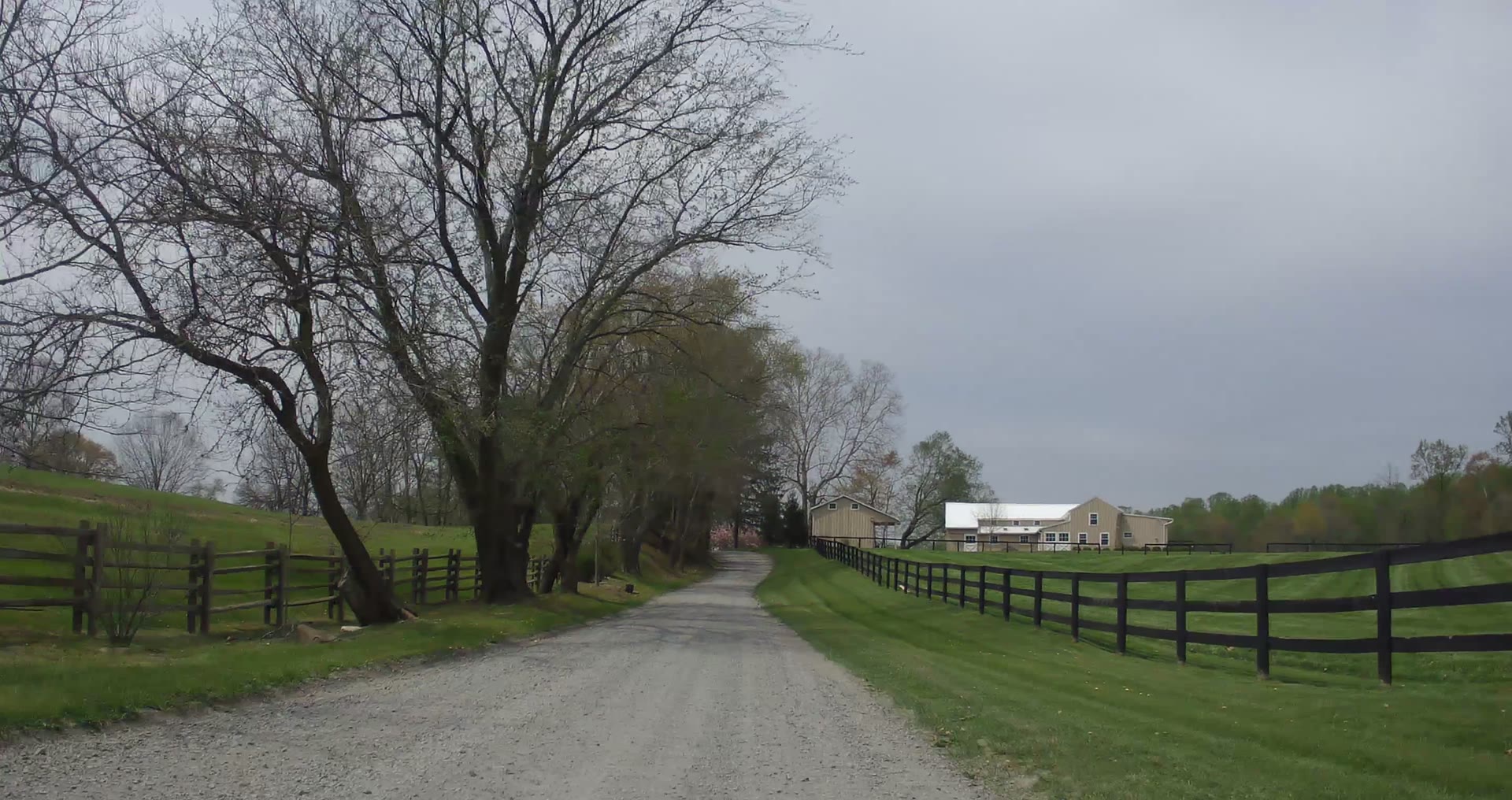
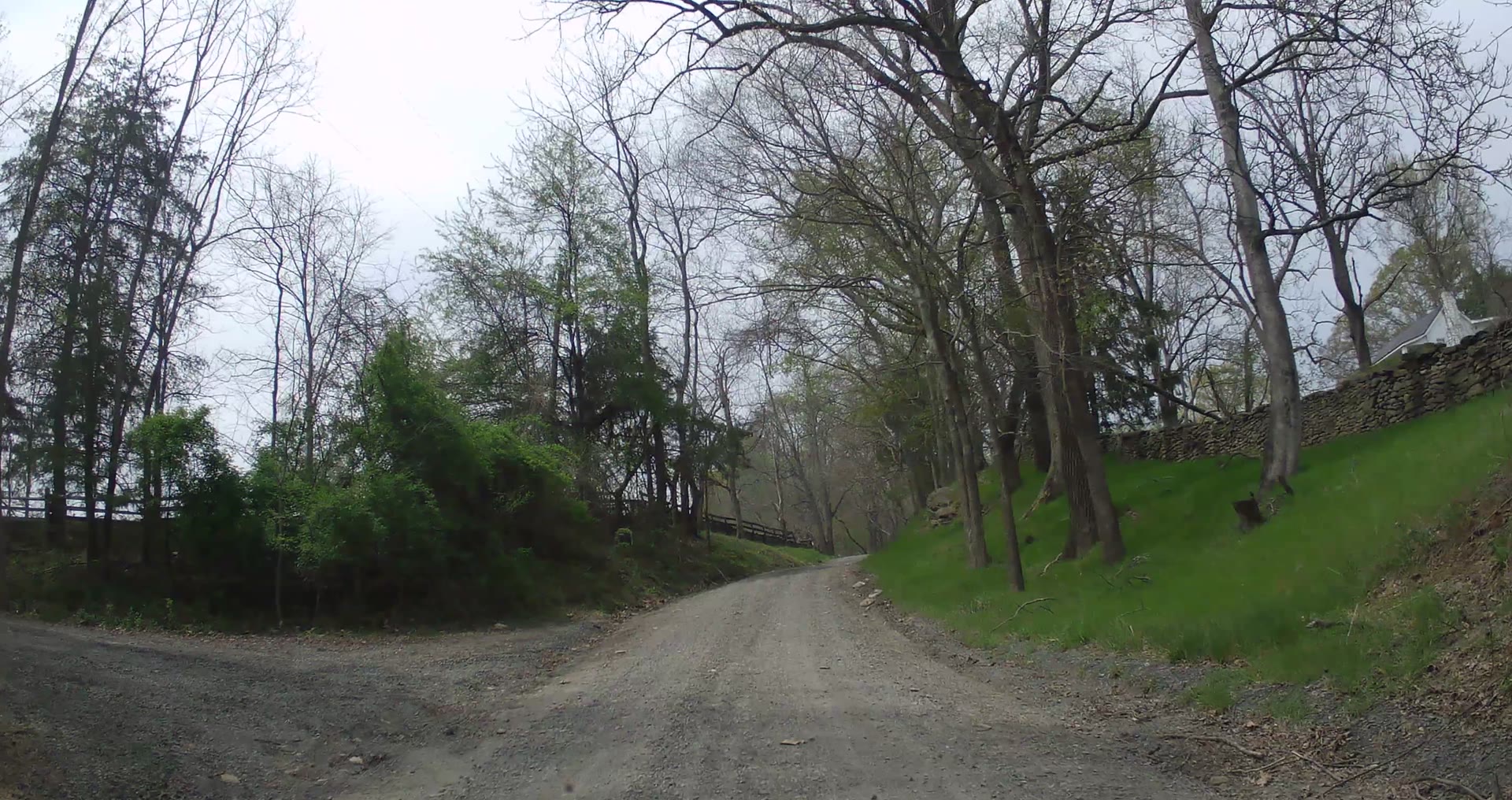
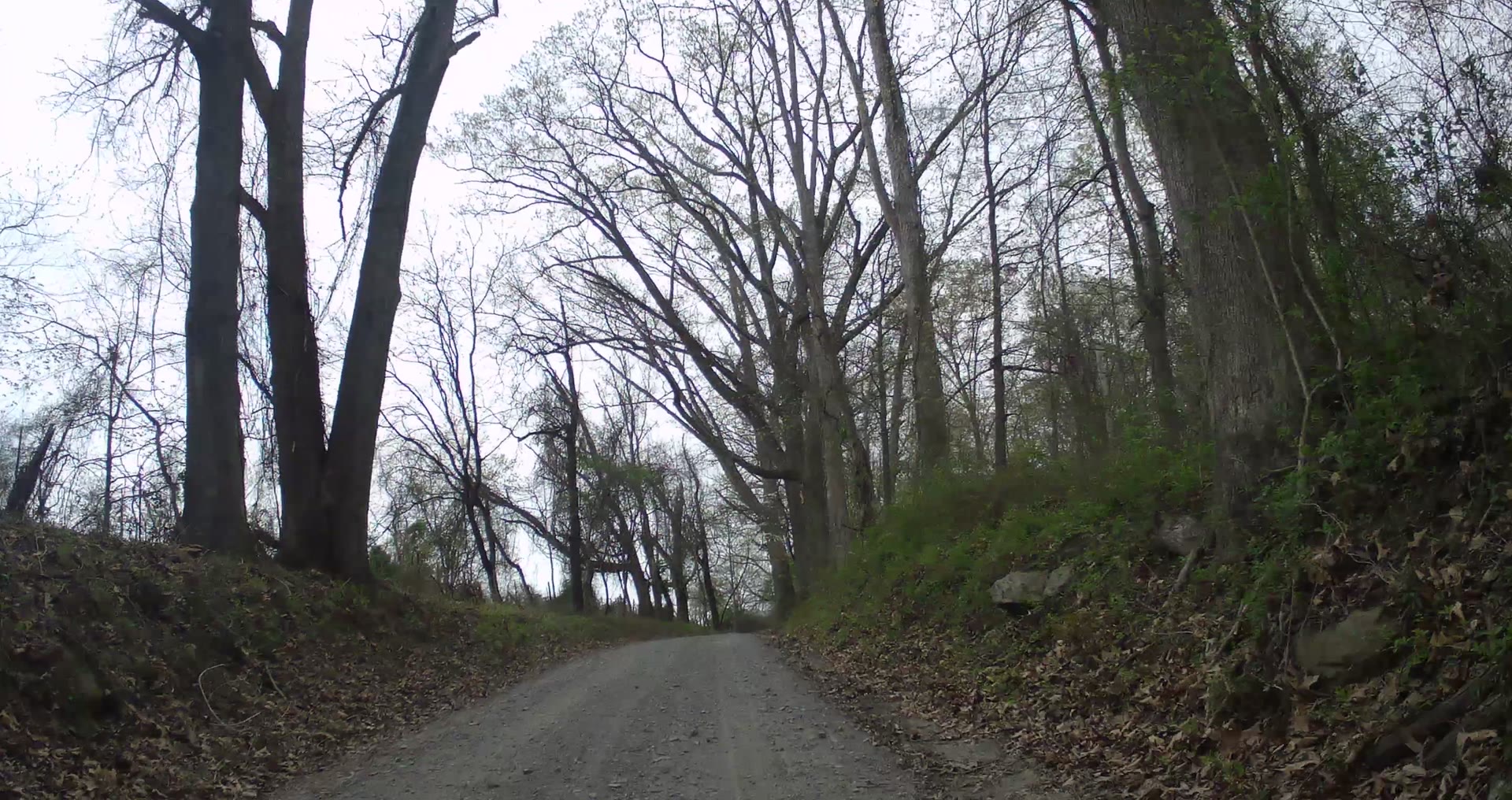
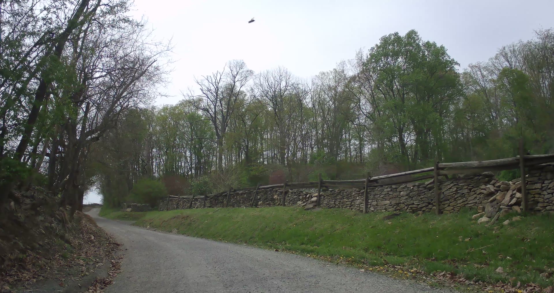
- The setting: board-fenced pasture and a farm near the start, then wooded banks, dry-stone walls and early-spring green
- The effort: dips to a low point early, then climbs about 220 ft to the finish at Rock Hill Rd
- Traffic: light local traffic
- The data panel: a live map, distance along the road, speed, grade and an elevation profile.
Photos from the road
Stills from our April 19, 2025 ride video on Rock Hill Mill Rd.
Route at a glance
| Section | Halfway Rd to Rock Hill Rd: 1.77 mi (2.8 km) |
| Surface | Unpaved (gravel) |
| Location | Between The Plains and Middleburg, Fauquier County, VA |
| Filmed | April 19, 2025, westbound, about 10 min 10 s |
Ride data
Elevation profile (Halfway Rd to Rock Hill Rd)
Distance and elevation from our GPS recording of the April 19, 2025 ride; elevation figures are approximate. Road names and surfaces from OpenStreetMap. Conditions change, so check before you ride.
Map
Orange line: the section filmed in the video, from our ride. Green dot: start at Halfway Rd; checkered dot: finish. Map data © OpenStreetMap contributors
More gravel nearby
- Burrland Ln Gravel: four miles south of Middleburg, Rock Hill Rd to Halfway Rd
- Whitewood Rd Gravel: open farmland north of The Plains, to Rock Hill Mill Rd
- Bust Head Rd Gravel: Hopewell Rd to Landmark Rd, near Hopewell Gap
- Gravel Roads Catalog: every road we’ve documented so far
- Ride Library: mapped gravel routes through Loudoun and Fauquier
Rock Hill Mill Rd is narrow between its banks. Ride predictably, hold your line and give horses plenty of room.
Share your ride
Have a ride video of a local gravel road? Volunteer footage helps us document these roads and the case for keeping them gravel. Get in touch and we’ll feature it.