Home Gravel Roads Gravel Roads Catalog
A catalog of the gravel roads we document: twenty-two road sections so far around Unison, Haymarket and The Plains. Each road has its own page with a ride-along video, photos taken on the road, a description, a route summary with gravel distances, the Strava segment where there is one, and a map.
Loudoun County · Prince William and Fauquier Counties · Before you ride · Full routes in the Ride Library
Loudoun County: around Unison
Gravel roads on our Unison loops in western Loudoun, filmed by Cycling Unbound. Tap a road on the map to open its page.
▶
Airmont Rd to Austin Grove Rd · Near Unison · 4K video
1.01 mi gravel46 ft climbing
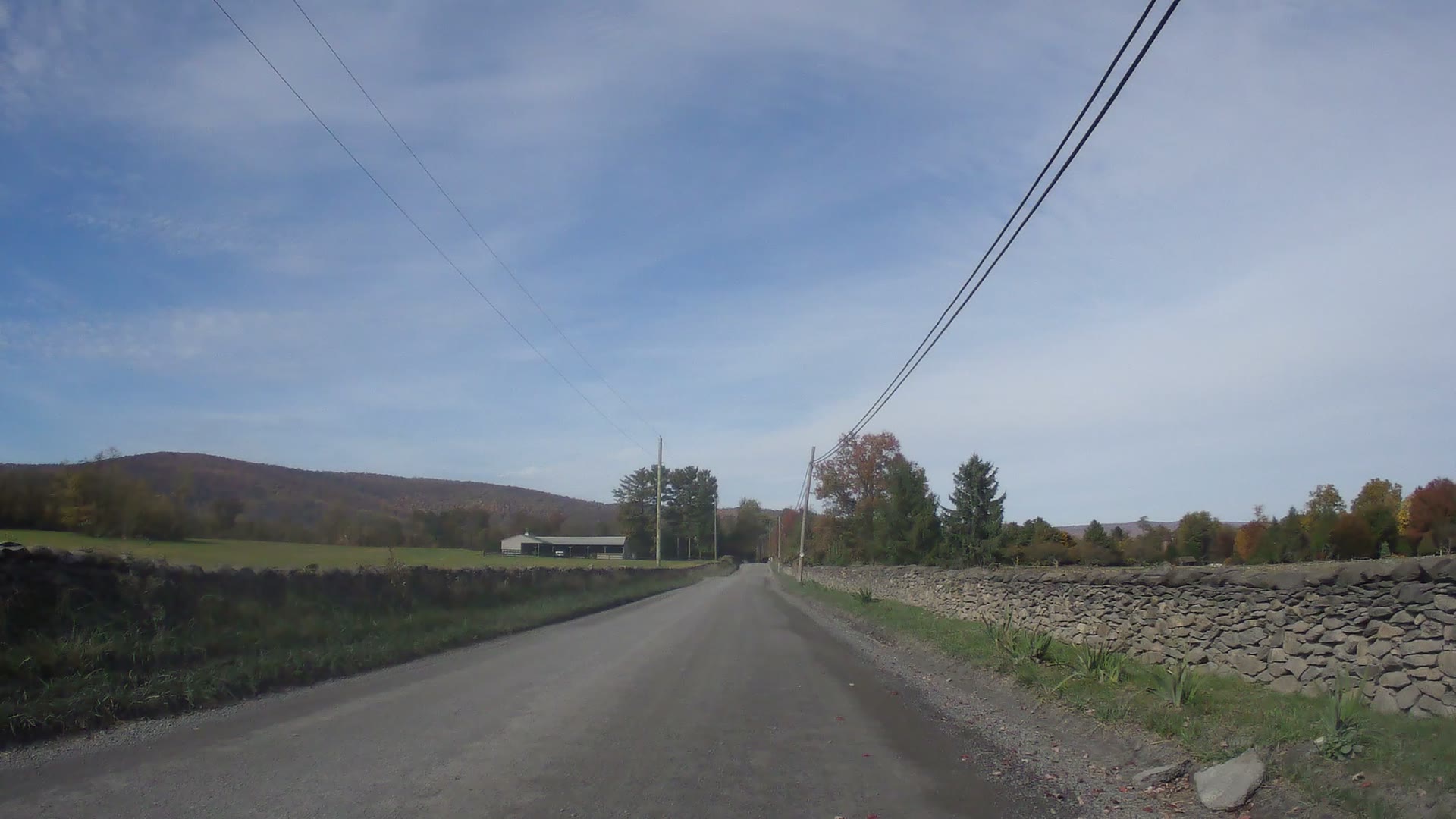
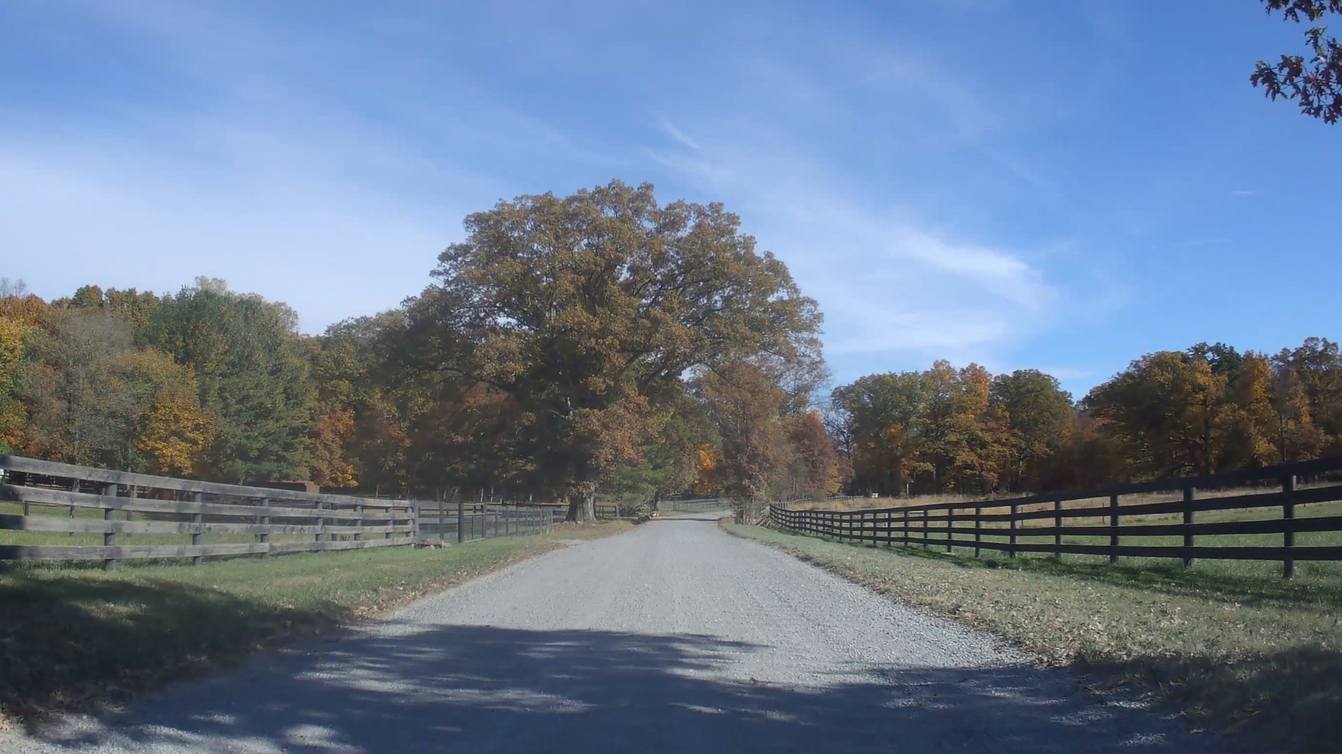
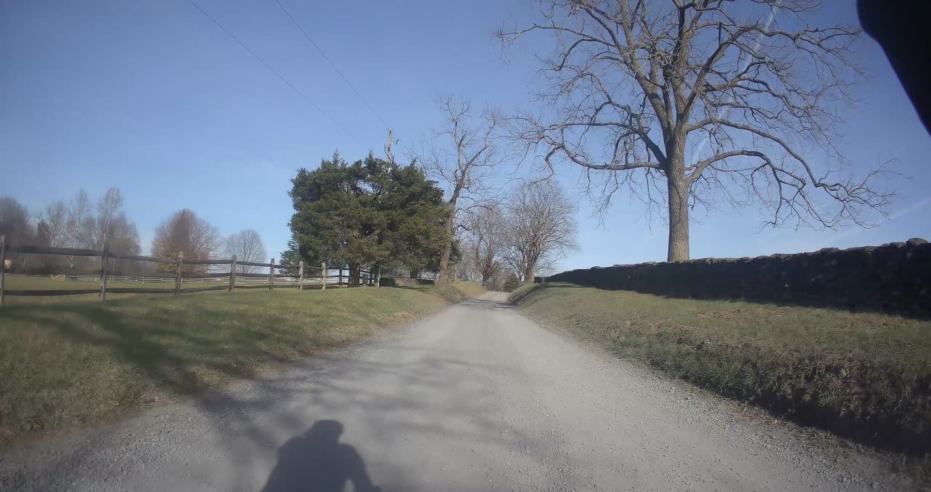
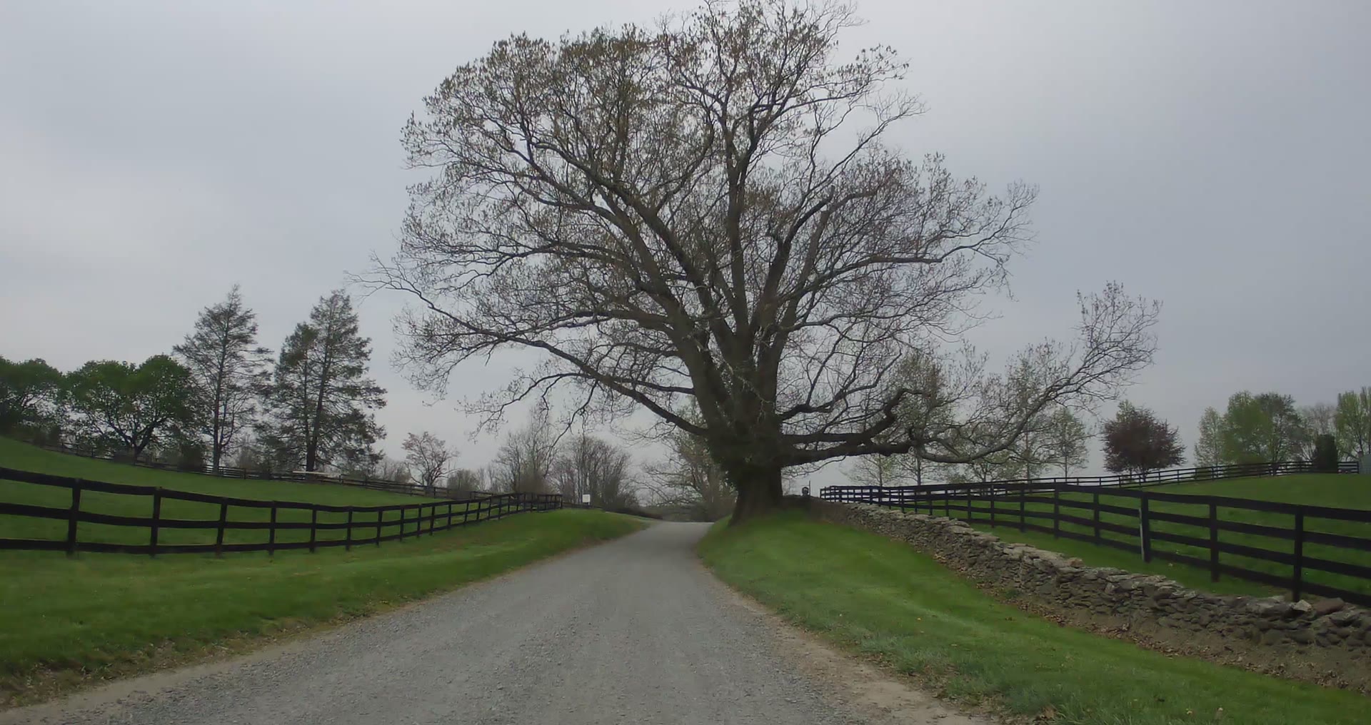
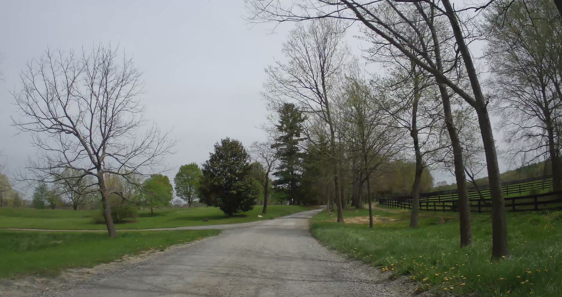
Past dry-stone walls, board-fenced pasture and fall color, then into the woods. Close to flat, with gentle rollers.
Watch + route details YouTube
▶
Foggy Bottom Rd to Ridgeside Rd · Near Unison · 4K video
1.42 mi gravel174 ft climbing
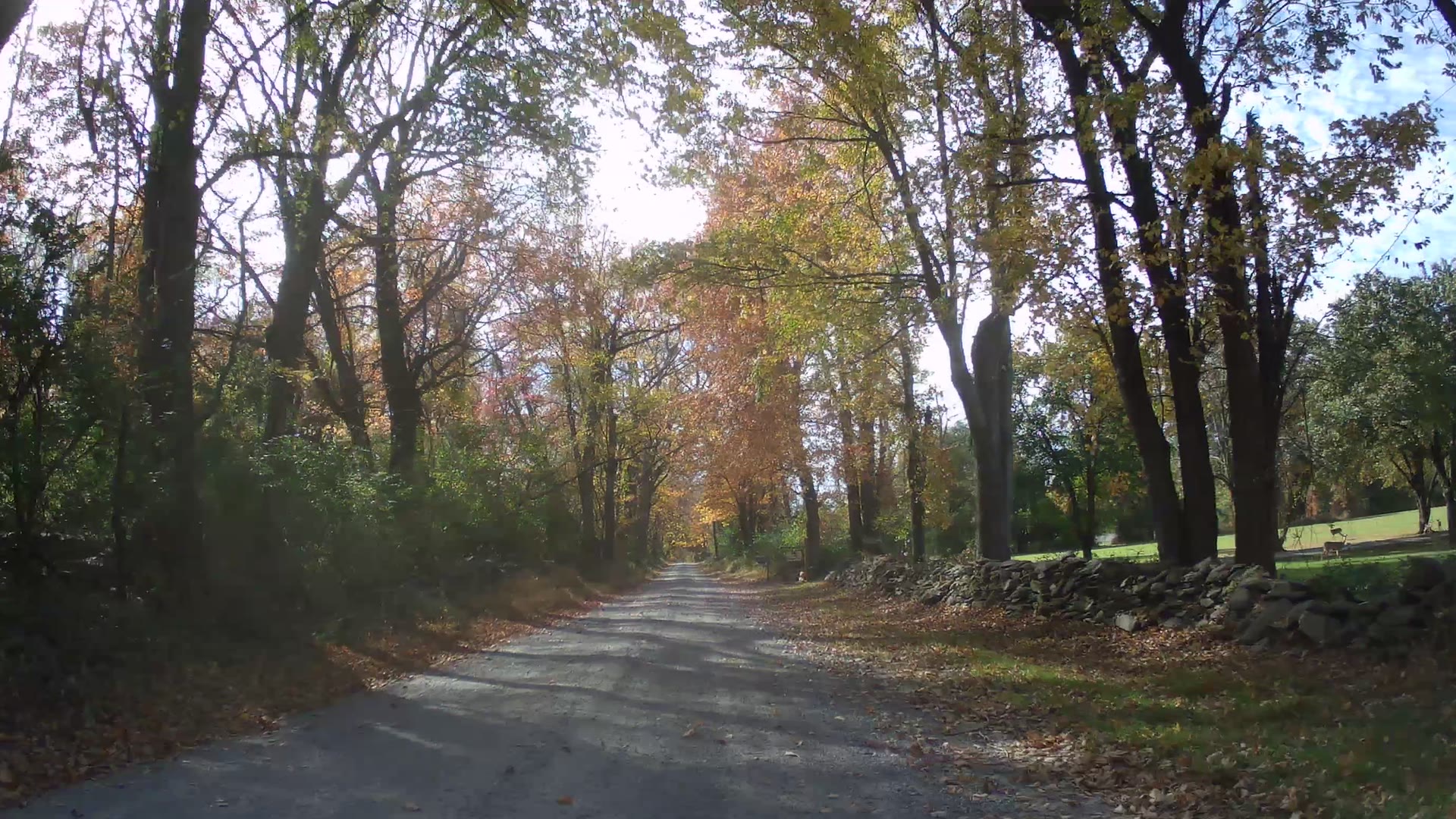
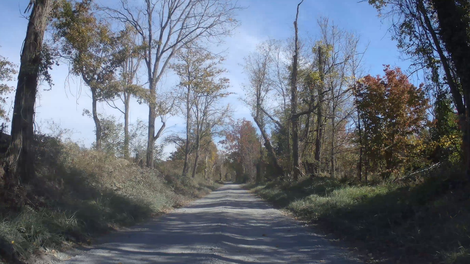
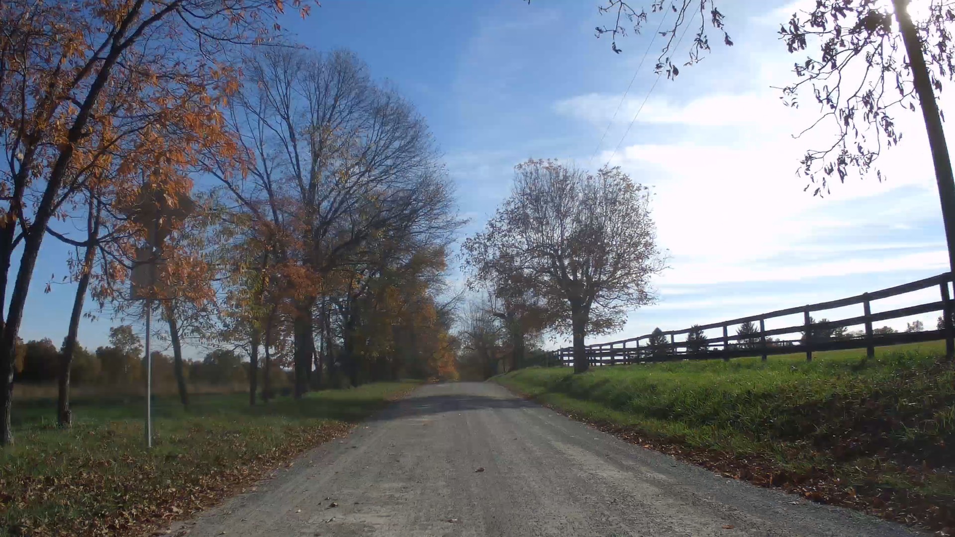
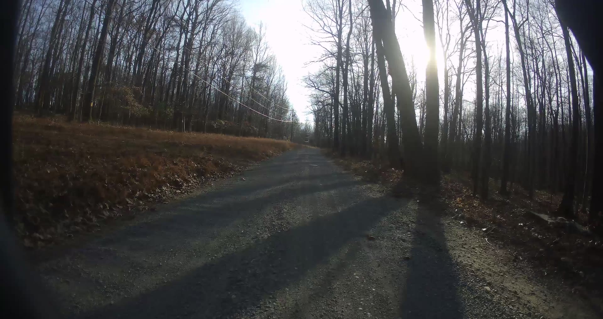
A tree tunnel of fall color, a quick descent, then open fields and a steady climb to Ridgeside Rd.
Watch + route details YouTube
▶
Austin Grove Rd to Foggy Bottom Rd · Near Unison · 4K video
1.83 mi gravel79 ft climbing
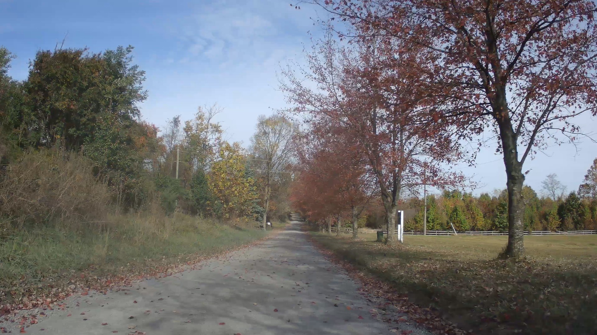
Board-fenced pastures, a lane of red maples and a stretch of woods, then a descent along stone walls to Foggy Bottom Rd.
Watch + route details YouTube
▶
Ridgeside Rd to Hollow Oak Rd · Near Unison · 4K video
1.01 mi gravel23 ft climbing
Gently downhill between wooded banks, dry-stone walls and open fields.
Watch + route details YouTube
▶
Foggy Bottom Rd to Yellow Schoolhouse Rd · Near Unison · 4K video
0.51 mi gravel39 ft climbing
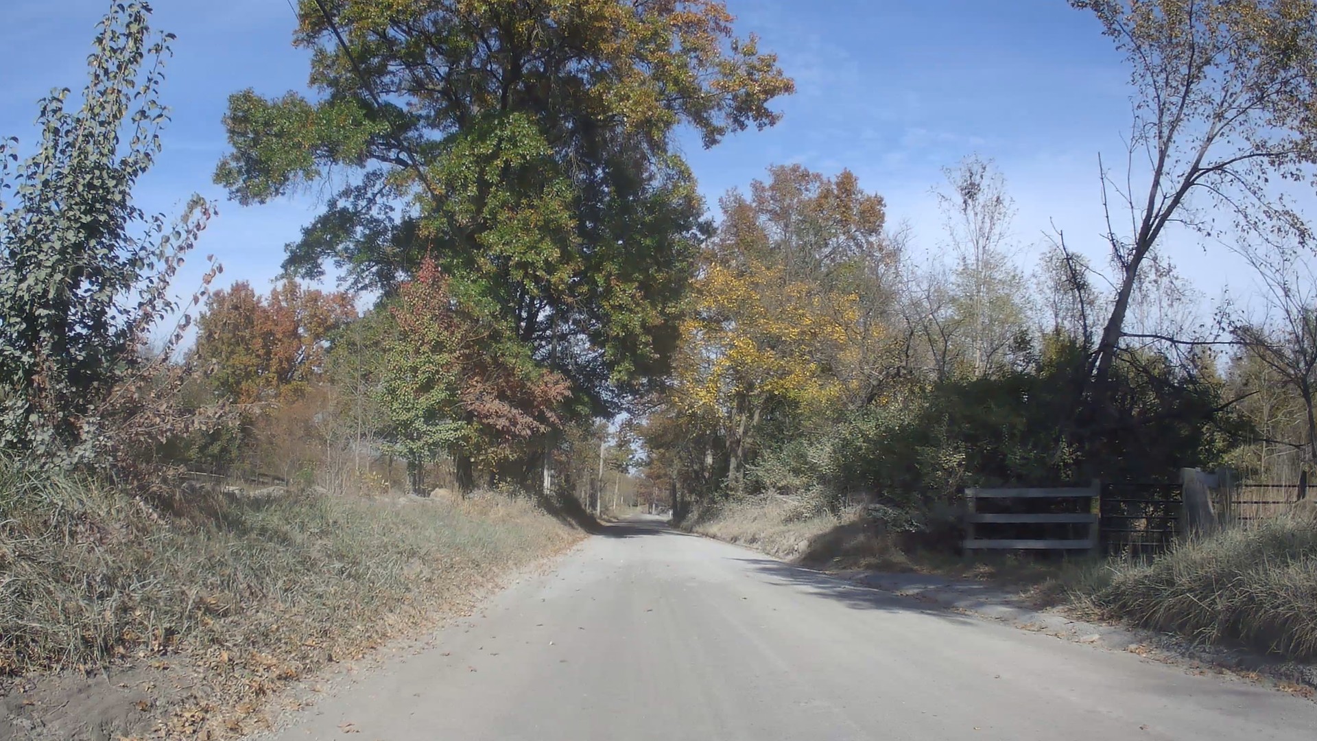
A short drop past a dry-stone wall into a sunken, tree-lined lane, then a climb to Yellow Schoolhouse Rd.
Watch + route details YouTube
▶
Snickersville Tpke to Black Oak Rd · Near Unison · 4K video
2.81 mi gravel367 ft climbing
Horse country: miles of board fence, open pasture and big oaks, then a wooded sunken lane and a steep finish.
Watch + route details YouTube
▶
Paxson Rd to Snickersville Tpke · Near Unison · 4K video
1.81 mi gravel105 ft climbing
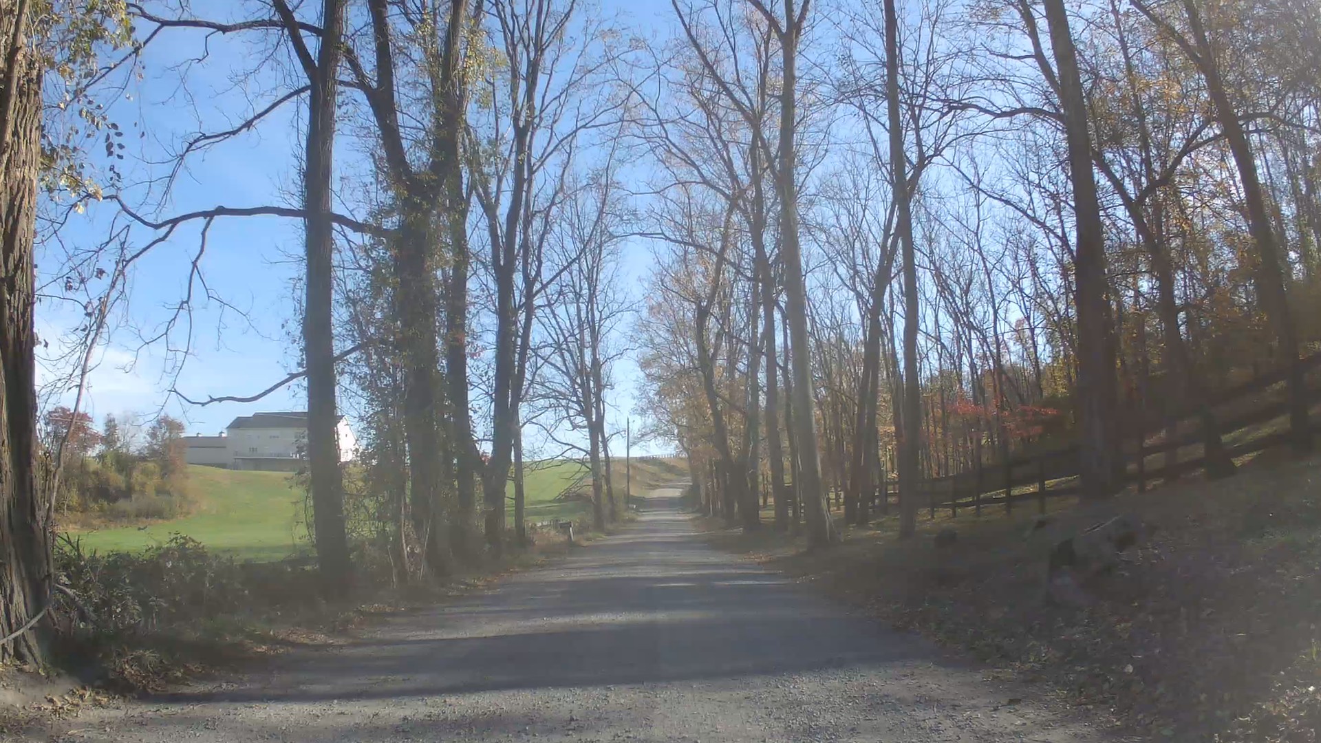
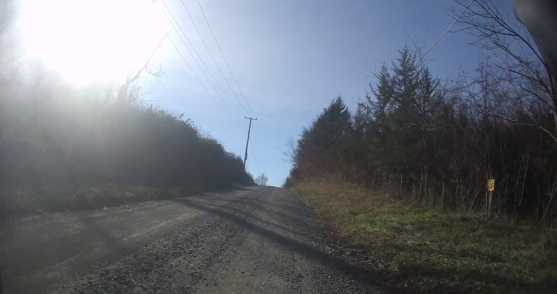
A long descent through tall woods, then a climb past houses and fields to Snickersville Tpke.
Watch + route details YouTube
▶
Airmont Rd to Unison Rd · Near Unison · 4K video
2.39 mi gravel203 ft climbing
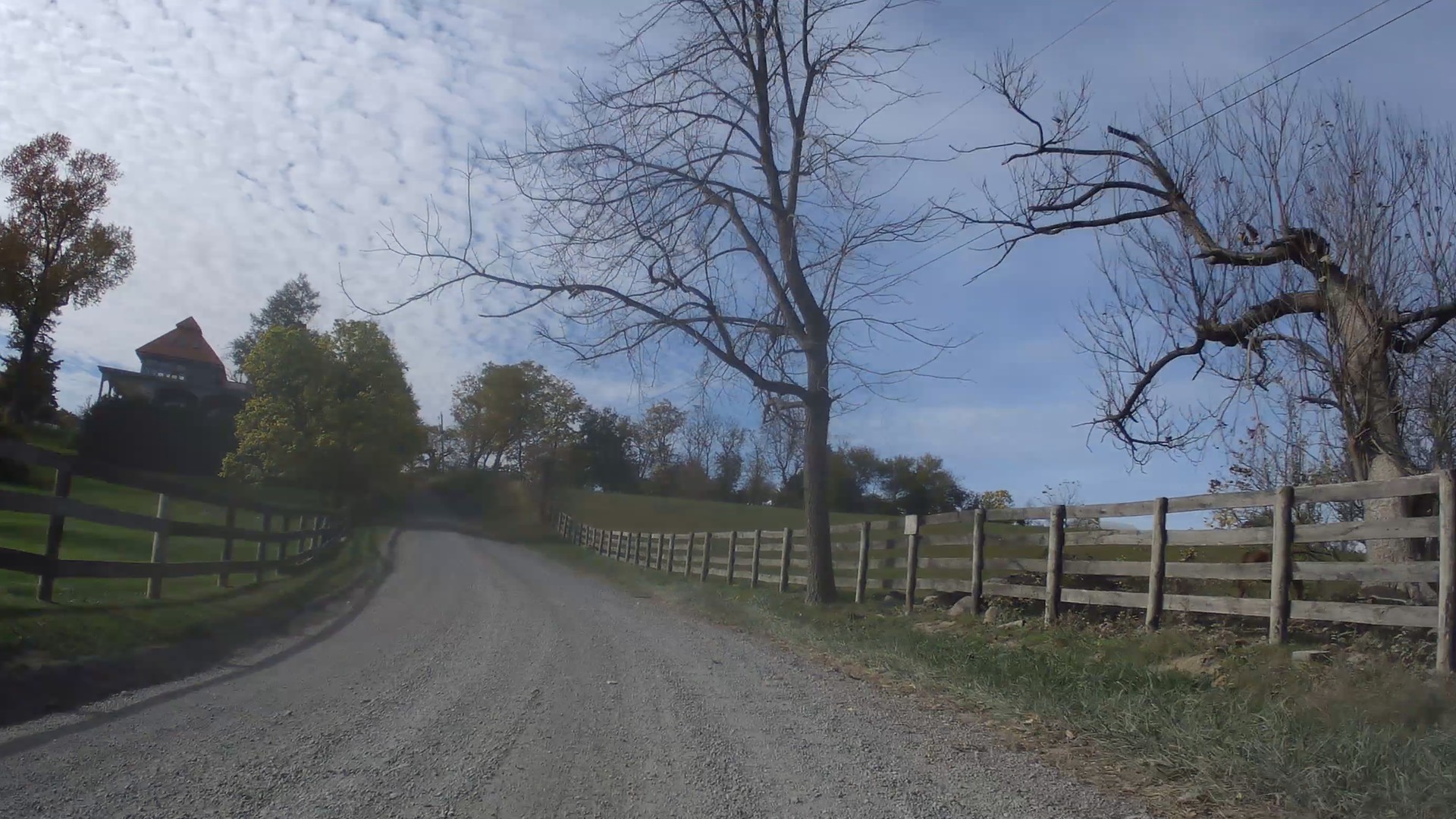
Rolling gravel through fall woods and open hillside pasture with board fences.
Watch + route details YouTube
▶
From Woodtrail Rd, southwest · Near Unison · 4K video
1.36 mi gravel118 ft climbing
Board fences and fall color, a wooded descent to the low point, then a steady climb through open country. Video coming soon.
Watch + route details
▶
Unison Rd to the end of the gravel · Near Unison · 4K video
0.85 mi gravel112 ft climbing
Past houses and through the woods, then a climb between board fences to the end of the gravel. Video coming soon.
Watch + route details
Prince William and Fauquier: around Haymarket, The Plains
Gravel and dirt roads around Haymarket, near the Loudoun line, and between The Plains, Middleburg and Hopewell Gap. Some were filmed by Cycling Unbound and some by volunteer riders. Tap a road on the map to open its page.
▶
Near Haymarket · Peach Orchard Ln + Little River Rd · Video
2.9 mi routeBull Run ford
A fast gravel descent, a ford across Bull Run at the Loudoun–Prince William line, then a gravel climb out to Logmill Rd.
Watch + route details YouTube
▶
US 15 to Sudley Rd · Gravel section · Video
1.95 mi gravel4.7 mi full road
Rolling gravel from Alvey Dr to Shelter Ln. Pairs well with Peach Orchard, since Little River Rd comes in near the start.
Watch + route details YouTube
▶
US 15 to Mountain Rd · Video
1.05 mi gravel1.9 mi full road
A short, fast mile of gravel climbing gently to Mountain Rd, past an alpaca farm.
Watch + route details YouTube
▶
Mountain Rd to Waterfall Rd · Video
0.88 mi gravel~85 ft drop end to end
Almost entirely gravel, with only the last few yards at Waterfall Rd paved.
Watch + route details YouTube
▶
Waterfall Rd · Mountain Rd · Video
0.88 mi gravelSame road , other way
The same short gravel road ridden in the opposite direction. Watch both to see how it rides each way.
Watch + route details YouTube
▶
End of the pavement to Rock Hill Mill Rd · North of The Plains · 4K video
2.79 mi gravel190 ft climbing
Open farmland, stone walls and board fences north of The Plains. Video coming soon.
Watch + route details
▶
Halfway Rd to Rock Hill Rd · Between The Plains and Middleburg · 4K video
1.77 mi unpaved314 ft climbing
Past a farm, stone walls and wooded banks, climbing to Rock Hill Rd. Video coming soon.
Watch + route details
▶
Rock Hill Rd to Halfway Rd · South of Middleburg · 4K video
4.09 mi dirt and gravel270 ft climbing
Four miles of dirt and gravel past big old trees and black board fences. Video coming soon.
Watch + route details
▶
John Marshall Hwy to Mount Eccentric Rd · Near The Plains · 4K video
2.14 mi gravel192 ft climbing
Under a highway overpass, then fields, hedgerows and woods to Mount Eccentric Rd. Video coming soon.
Watch + route details
▶
Hopewell Rd to Landmark Rd · Near Hopewell Gap and The Plains · 4K video
2.91 mi unpaved372 ft climbing
Over a wooded ridge, then a long descent to Landmark Rd. Video coming soon.
Watch + route details
▶
Landmark Rd to the end of the gravel toward Hopewell Rd · Near Hopewell Gap · 4K video
4.10 mi gravel571 ft climbing
Four miles through hardwood forest, climbing about 570 ft along the Bull Run Mountains. Video coming soon.
Watch + route details
▶
Landmark Rd to Landmark School Rd · Southeast of Middleburg · 4K video
2.34 mi gravel191 ft climbing
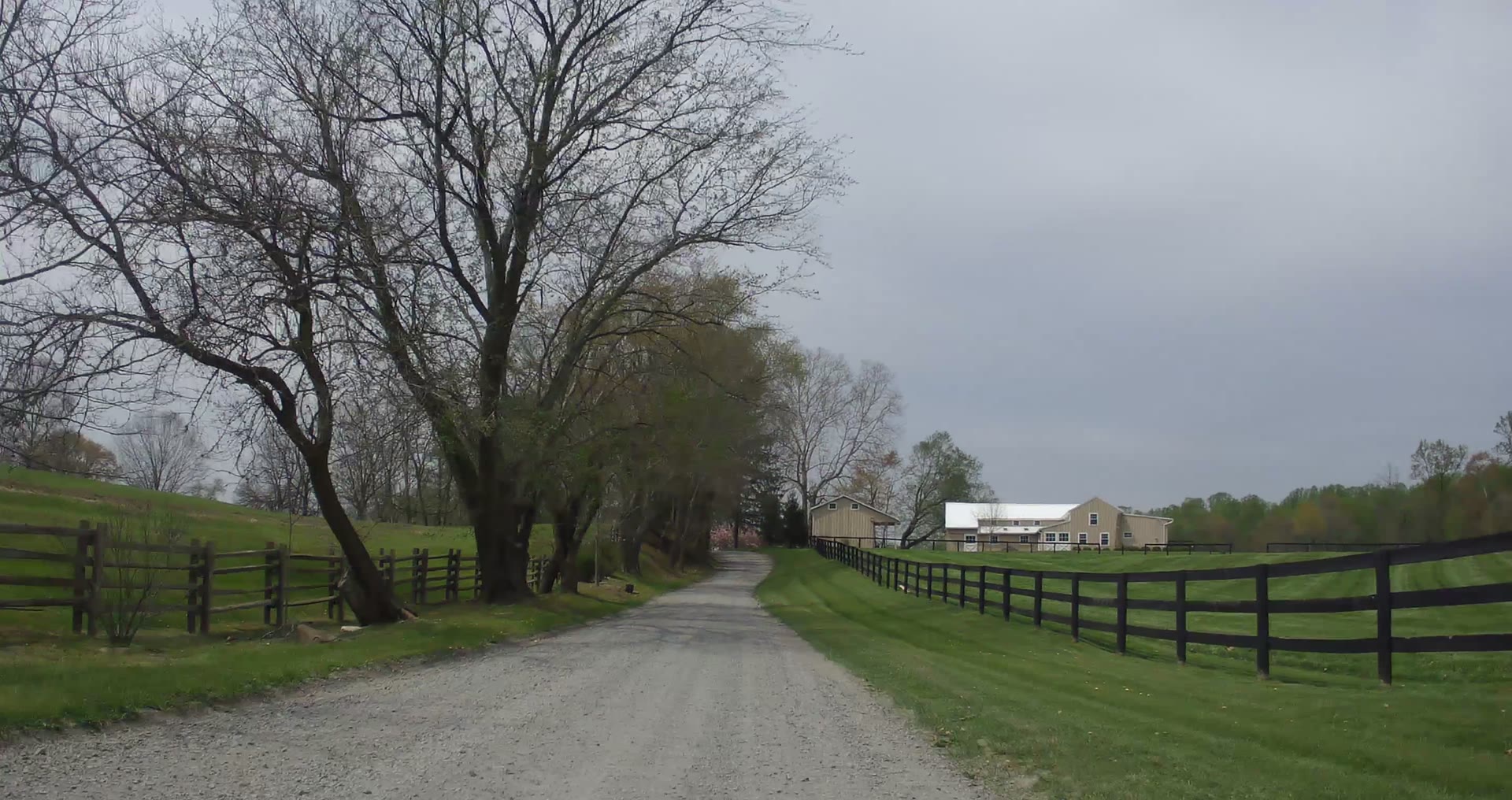
Fields, rail fences and spring woods, from Landmark Rd to Landmark School Rd. Video coming soon.
Watch + route details
Volunteer contributions
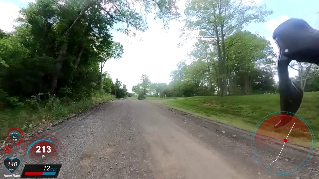
Ride videos filmed and shared by volunteer riders, with power, speed, cadence and a live route map on screen.
▶
Gaines Rd to VA 55 · Volunteer video · May 2020
~1.1 mi road~3 min video
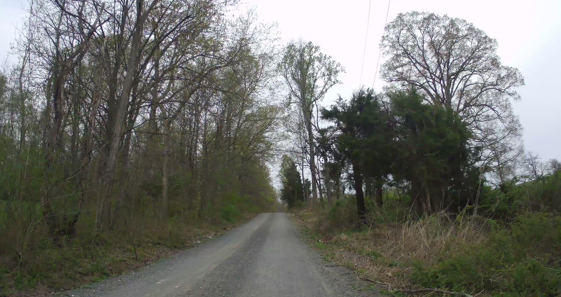
Loose gravel and patches of old broken asphalt through woods, opening to board fences and pasture.
Watch + route details YouTube
▶
Toward Mountain Rd · Volunteer video · May 2020
~0.7 mi of gravel filmed~2 min video
A scouting ride on hard-packed gravel, with elevation and grade on screen alongside power and speed.
Watch + route details YouTube
Road lines from OpenStreetMap and Strava segments, showing the documented section of each road. For full loops, see the Gravel Roads Map .
Before you ride
Videos and photos show the roads as they were when recorded; gravel changes with weather and maintenance, so check conditions before you go and follow our VeloSafe guidance on sharing rural roads with farm traffic and horses. Documenting these roads is part of our VeloGravel program.
For full loops with maps and GPS files, see the Ride Library or every route on the map . Have a ride video of a local gravel road? Get in touch and we’ll add it here.