
Foggy Bottom Rd meets both Austin Grove Rd and Ridgeside Rd near Unison, in western Loudoun County, VA, and we filmed it in two gravel sections. This video covers the north section, 1 mile from the Ridgeside Rd junction to Hollow Oak Rd. It drifts gently downhill between wooded banks, dry-stone walls and open fields, with a short dip and rise near the end.
What you’ll see
- The surface: gravel the whole way, with leaves and shade under the big trees.
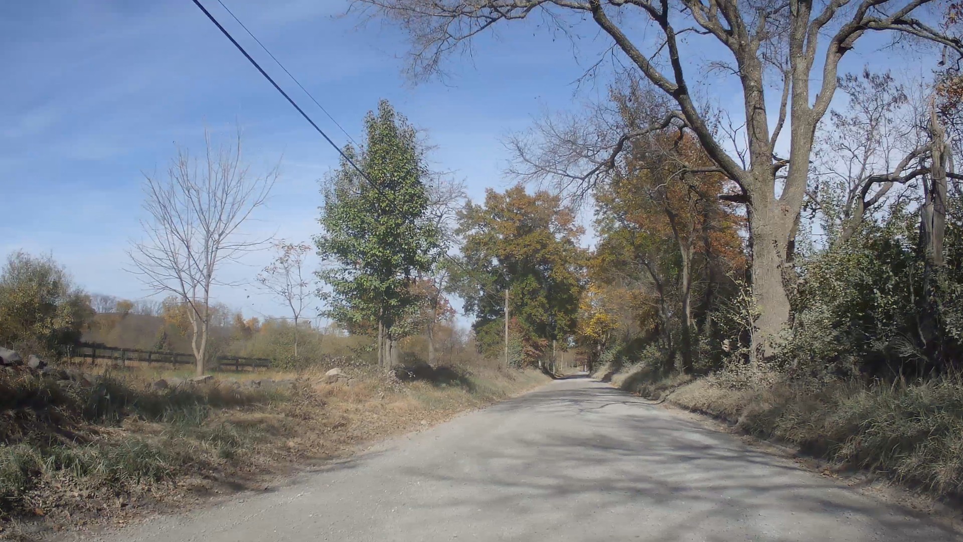
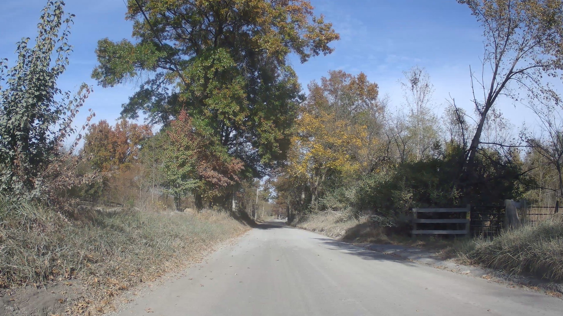
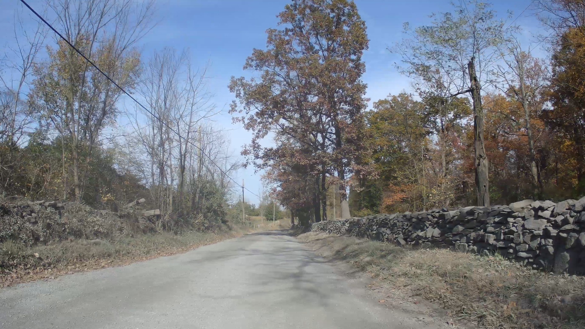
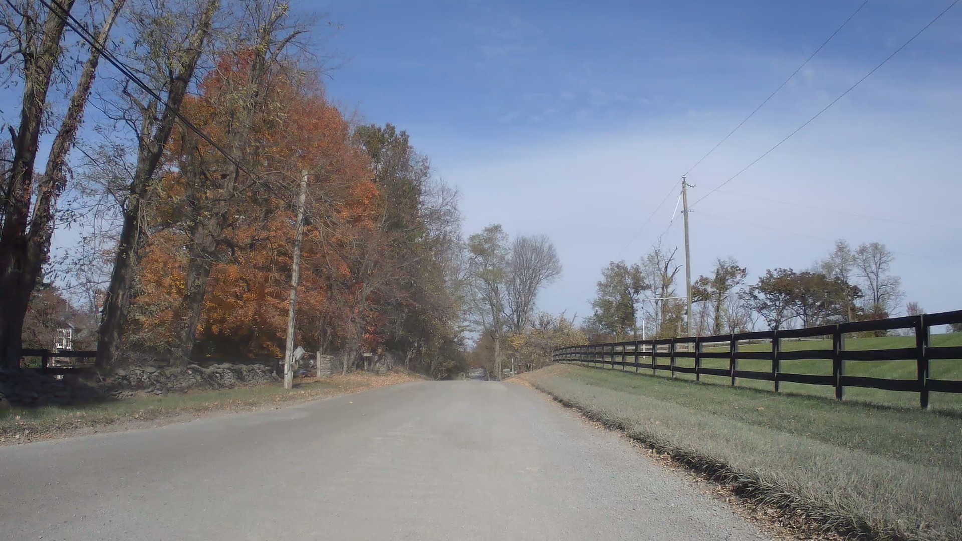
- The setting: wooded banks and big oaks at first, then long dry-stone walls, board fences and open fields, with fall color throughout.
- The effort: easy. The road loses about 60 ft over the mile, with a short dip around 0.7 mi and a small rise after it.
- Traffic: two vehicles come the other way in the last few tenths of a mile. Expect local traffic on a road this narrow.
- The data panel: a live map, distance along the road, speed, grade and an elevation profile.
Photos from the road
Stills from our November 1, 2026 ride video on the north section of Foggy Bottom Rd.
Route at a glance
| Section | Ridgeside Rd to Hollow Oak Rd: 1.0 mi (1.6 km) |
| Surface | Gravel |
| Filmed | November 1, 2026, northeastbound, about 3 min 56 s |
Strava segment
Ride it yourself and compare: the CU Foggy Bottom Rd (north) segment covers the same stretch, from Ridgeside Rd to Hollow Oak Rd.
Elevation profile (Ridgeside Rd to Hollow Oak Rd)
Segment data from Strava as of November 16, 2026. Road names and surfaces from OpenStreetMap. Conditions change, so check before you ride.
Map
Orange line: the CU Foggy Bottom Rd (north) Strava segment. Green dot: start at Ridgeside Rd; checkered dot: finish at Hollow Oak Rd. View on Strava · Map data © OpenStreetMap contributors
More gravel nearby
- Ridgeside Rd Gravel: the road before this one, Austin Grove Rd to Foggy Bottom Rd
- Hollow Oak Rd Gravel: the road after this one, Foggy Bottom Rd to Yellow Schoolhouse Rd
- Foggy Bottom Rd Gravel: the south section, Airmont Rd to Austin Grove Rd
- Gravel Roads Catalog: every road we’ve documented so far
- Ride Library: mapped gravel routes through Loudoun and Fauquier
This section of Foggy Bottom Rd is narrow and lined with stone walls, so there is little room when a car comes the other way. Ride predictably, hold your line and give horses plenty of room.
Share your ride
Have a ride video of a local gravel road? Volunteer footage helps us document these roads and the case for keeping them gravel. Get in touch and we’ll feature it.