

The Plains – Shady Road Rustic is a 26.2-mile loop starting in The Plains, with 1,362 feet of climbing. About 15.4 miles (59%) are on gravel or dirt roads and 10.7 miles are paved. The longest unpaved stretch runs 6.5 miles on Sullivans Mill Road, Burrland Lane, Rock Hill Mill Road.
Route snapshot
What to expect
This loop spreads its gravel evenly across the ride: 7.4 gravel miles in the first half and 8.1 in the second. Along the way it links Marshall and Bunker Hill.
The course tops out at 725 feet around mile 21.6 and drops as low as 404 feet. Expect 9 climbs of 80 feet or more; the biggest gains 187 feet over 1.1 miles starting near mile 20.5. The steepest quarter-mile averages about 7.2% near mile 11.0. At roughly 52 feet of climbing per mile, we rate it intermediate.
- 6.5 miles of continuous gravel on Sullivans Mill Road, Burrland Lane and Rock Hill Mill Road.
- More unpaved stretches on Whitewood Road and Prince Road.
- 59% of the distance is on gravel or dirt.
- Paved connectors include Stuart Street, Halfway Road, Landmark School Road, Frogtown Road and Bunker Hill Road.
- A steep pitch of about 7.2% near mile 11.0. Choose gears that let you stay seated on loose gravel.
- Carry water, a spare tube and a plug kit.
Ride notes. Start and finish in The Plains. These are working farm roads shared with horses, tractors and local traffic: slow down and pass wide around horses, and see VeloSafe for more. Gravel changes with the weather, so expect loose stone after a fresh grading and soft spots after heavy rain. Spring and fall are our favorite seasons out here.
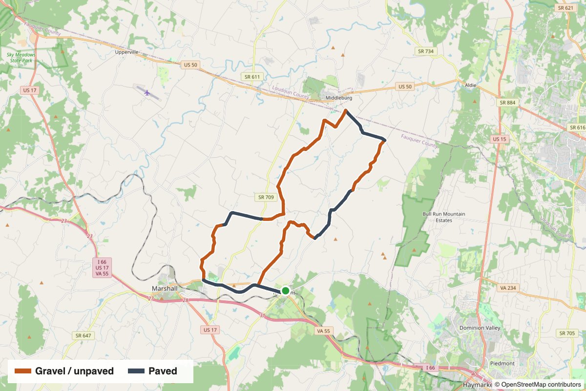
Elevation and surface

Gravel sections
Unpaved stretches of half a mile or more, in riding order:
- Mile 1.1–5.3 (4.2 mi): Whitewood Road, Herringdon Road
- Mile 7.7–10.1 (2.4 mi): Logans Mill Road
- Mile 12.0–18.5 (6.5 mi): Sullivans Mill Road, Burrland Lane, Rock Hill Mill Road
- Mile 20.3–22.8 (2.5 mi): Prince Road, Whiting Road — near Marshall
Photos from the route
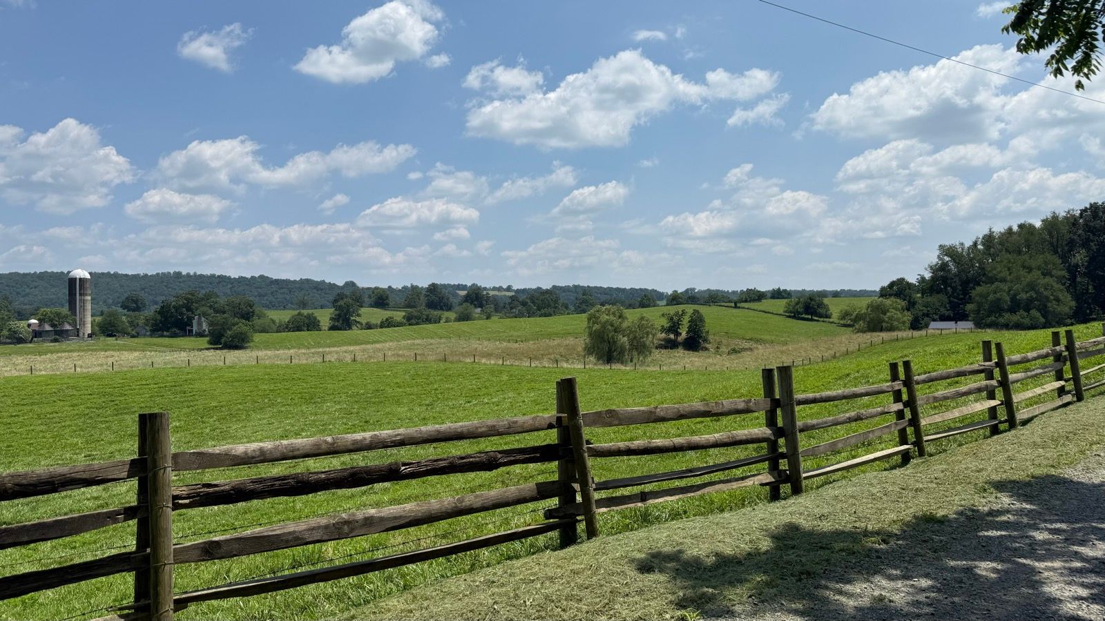
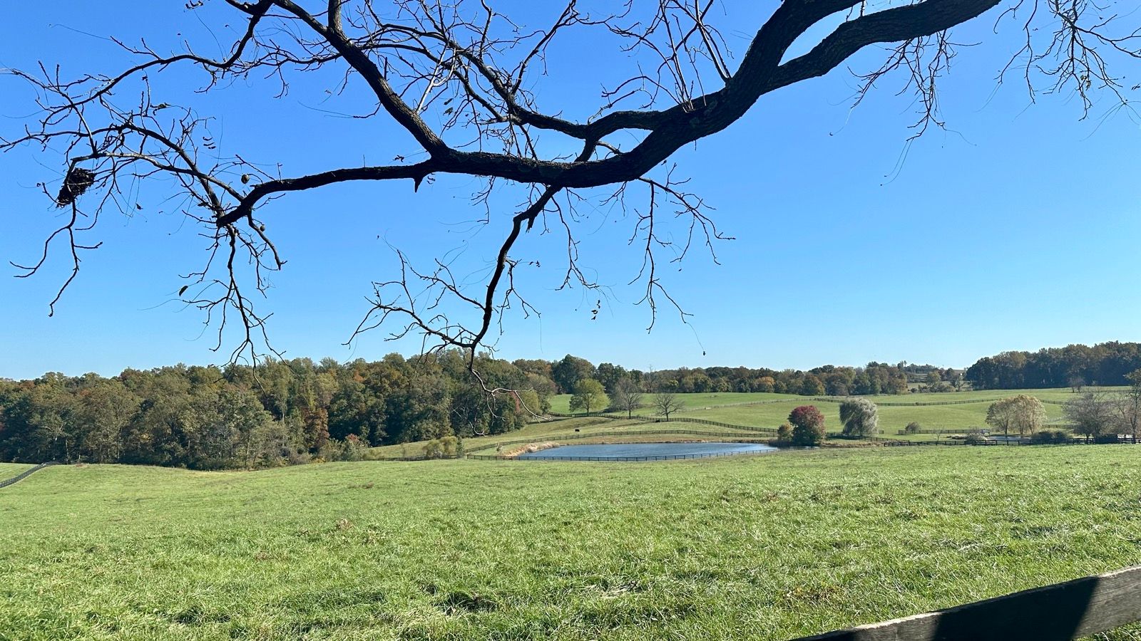
Photos taken along this route on our rides.
Get the route
Surface data comes from Ride with GPS. Road names come from OpenStreetMap. Gravel roads change with weather and maintenance, so check conditions before you ride and follow our VeloSafe guidance on rural roads.
