

Loudoun’s highest village, a former Snickersville that reinvented itself as a railroad-era mountain retreat.
History
Bluemont grew from a crossroads at the eastern foot of Snickers Gap, where a road to Winchester crossed the route toward Colchester in the 1770s. William Clayton bought land here in 1777, and his son Amos built the stone Clayton Hall in 1797. The settlement carried the Snickers name for a century: a Snickers’ Gap post office opened in 1807, and the General Assembly incorporated Snickersville in 1826. The turnpike from Leesburg, finished in 1832, brought steady traffic.
The Civil War largely passed it by, though in May 1864 a handful of Confederates surprised and scattered a larger Union detachment resting in town. The bigger change came in 1900, when the railroad from Washington reached the village. At the railroad’s urging, Snickersville became Bluemont that September, and hotels such as the Loudoun House and the Blue Ridge Inn welcomed city families escaping summer heat. By 1908 roughly 200 people lived here.
Rail service west of Purcellville ended in 1939, and the resort era faded. What remains is a remarkably intact village of late-1800s and early-1900s homes, a general store and a community center that hosts the Bluemont Fair, begun in 1970.
Courses through Bluemont
Rides through Bluemont
- Aborted ride to Mt WeatherJul 15, 2012 · 46 mi
- Mt Weather / Naked Mtn rideJul 28, 2012 · 64.4 mi
- Blue Ridger Backwards on beautiful fall dayAug 24, 2013 · 63.7 mi
- Riding with Arctic Windchill on Mt WeatherOct 10, 2015 · 54 mi
- Queen stage day : Mt Weather loopJul 25, 2026 · 34.1 mi
From our rides near Bluemont
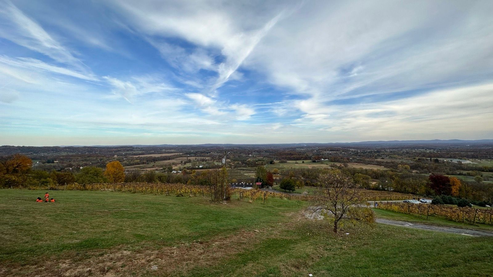
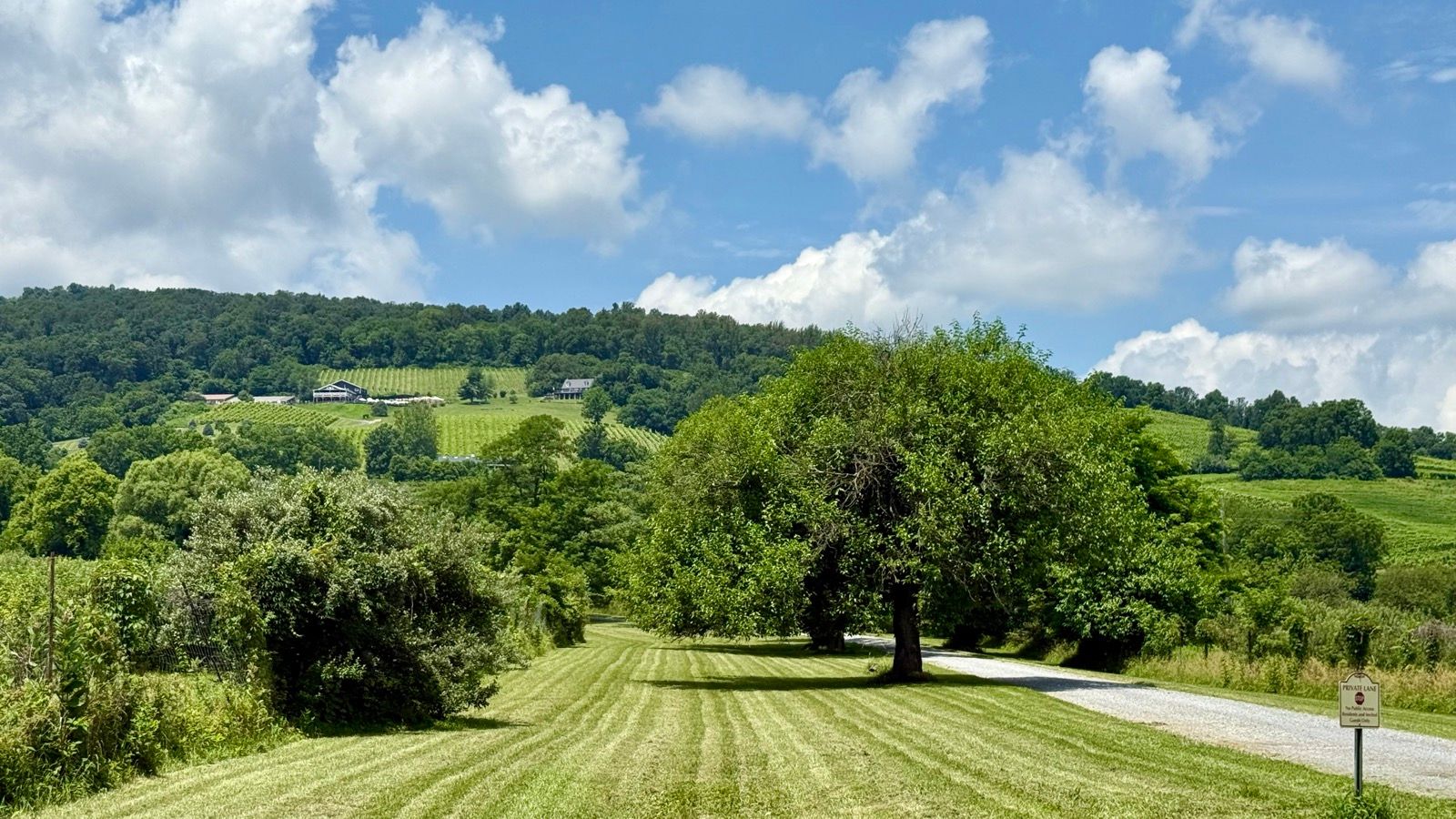
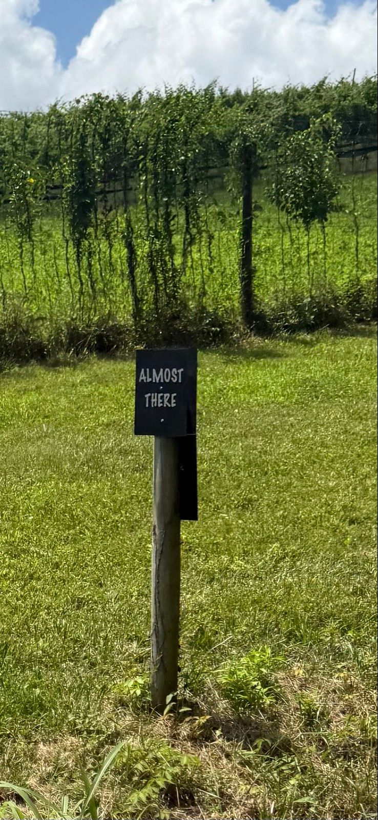
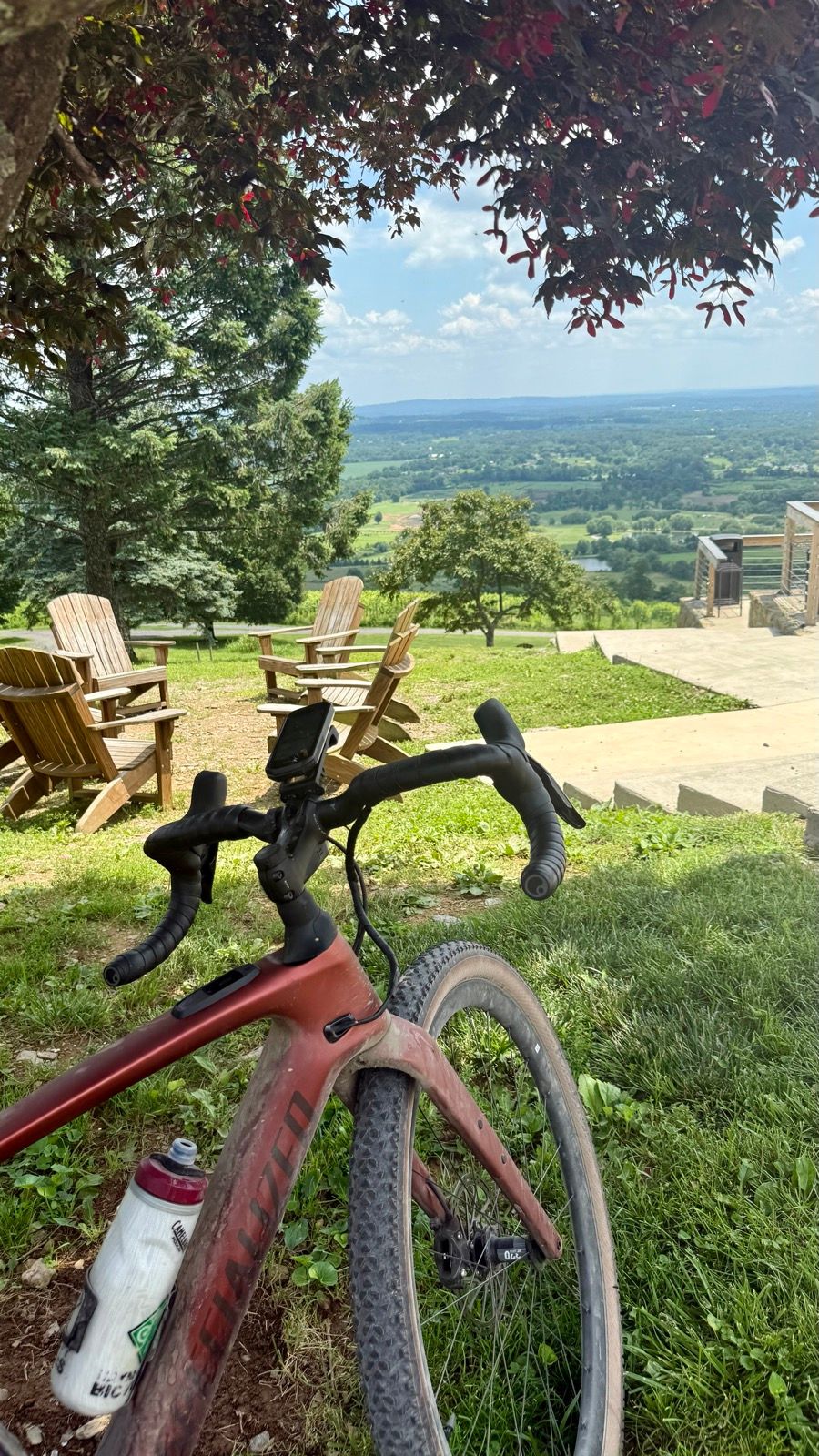
Sources: Loudoun Historic Village Alliance – Bluemont · Wikipedia – Bluemont, Virginia · Wikipedia – Bluemont Historic District · Bluemont Citizens Association – History. Ride counts from our own Strava and Ride with GPS logs, 2009–2026.
